
I prayed for this.

As someone with a fickle memory, I can’t even remember the last time I presented in front of an audience; and I missed that. I’m generally a talkative person and I always love to share ideas to other people. I’m also a firm believer that when a chance comes knocking, open that door wide open.

Four hours before the travel grant application for the Pista ng Mapa closes, I applied, and in some very dreamy turn of events, my application was accepted. My selling point? I am (still) not confident in talking publicly about mapping in general, when for five years, I’ve worked and been working in agencies that largely engage (and invest) in geospatial technologies. I want to learn more about what other people and organizations do to be able to be more effective, confident, and eloquent on my speaking engagements. After all, I can’t preach what I don’t know. (And my friends have been encouraging me to join and I am more than willing if given the chance of not spending a chunk of my grad-school savings.)


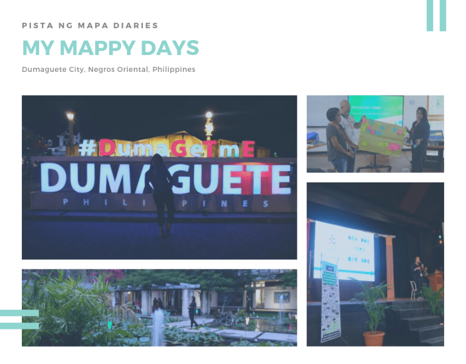
My anxiety skyrocketed before the event. I personally don’t know many people in the mapping community, and it’s my first time in Dumaguete. It was so relieving to know that I have the (almost) same flight with Nalie and Zi. Of course, they instantly became my PnM buddies.
The Mappy Hours
You know the usual problem of not being able to choose because there are so many good choices at hand? That was my feeling when it’s time for the parallel sessions.

On the first day, I’ve attended the Data Storytelling with Open Contracting Data session. As a [student] journalist and an open data enthusiast, my consciousness about this “knowledge and defense” was amplified. I almost always try to avoid processes that involve policies, monitoring procurement processes, and every other term of engagement that involve too much paper and resources. But in the session, I learned that in one way or another, we will face the dilemma of facing these planned and executed session roads of emerging technologies. All we have to do is adapt (and be mature about it, maybe).
The more interesting topic I attended was the Human Experience Design for Maps. I mean — why isn’t this a norm? What people in the science and social sciences sectors need to realize is that their expertise, when combined, will create a more all-inclusive approach to map-making. Knowing the needs and thought process of the people in a community, area-specific, can substantially aid in a more multidisciplinary science policy and planning.

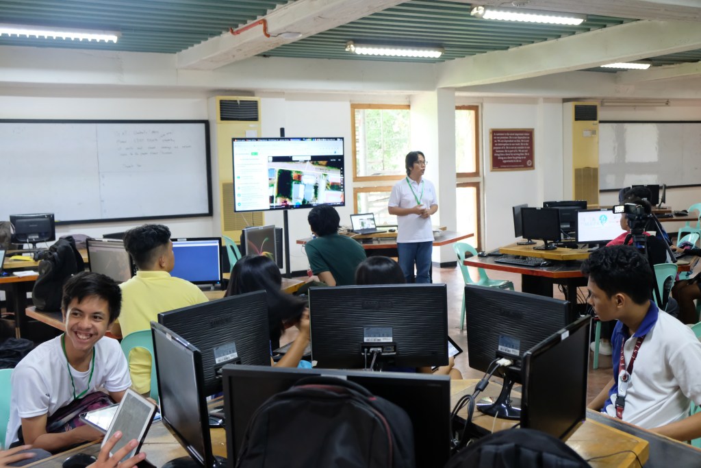
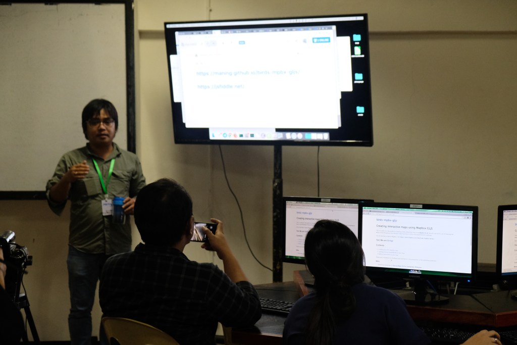
I also went to Creating interactive maps using Mapbox GLJS session. Maybe I am really not a techy person that was why I had a hard time keeping up? But hey, I managed to create my first map! Please be proud of me.

The Mappy Next Day Favorite
I kicked off the second day with a lightning talk about the S&T Infrastructure and Geospatial Technologies of DOST-Advanced Science and Technology Institute. For the first time in a long while, I was able to deliver a presentation again. I was so happy, and participants were telling me our outputs are impressive. But, of course! *winks
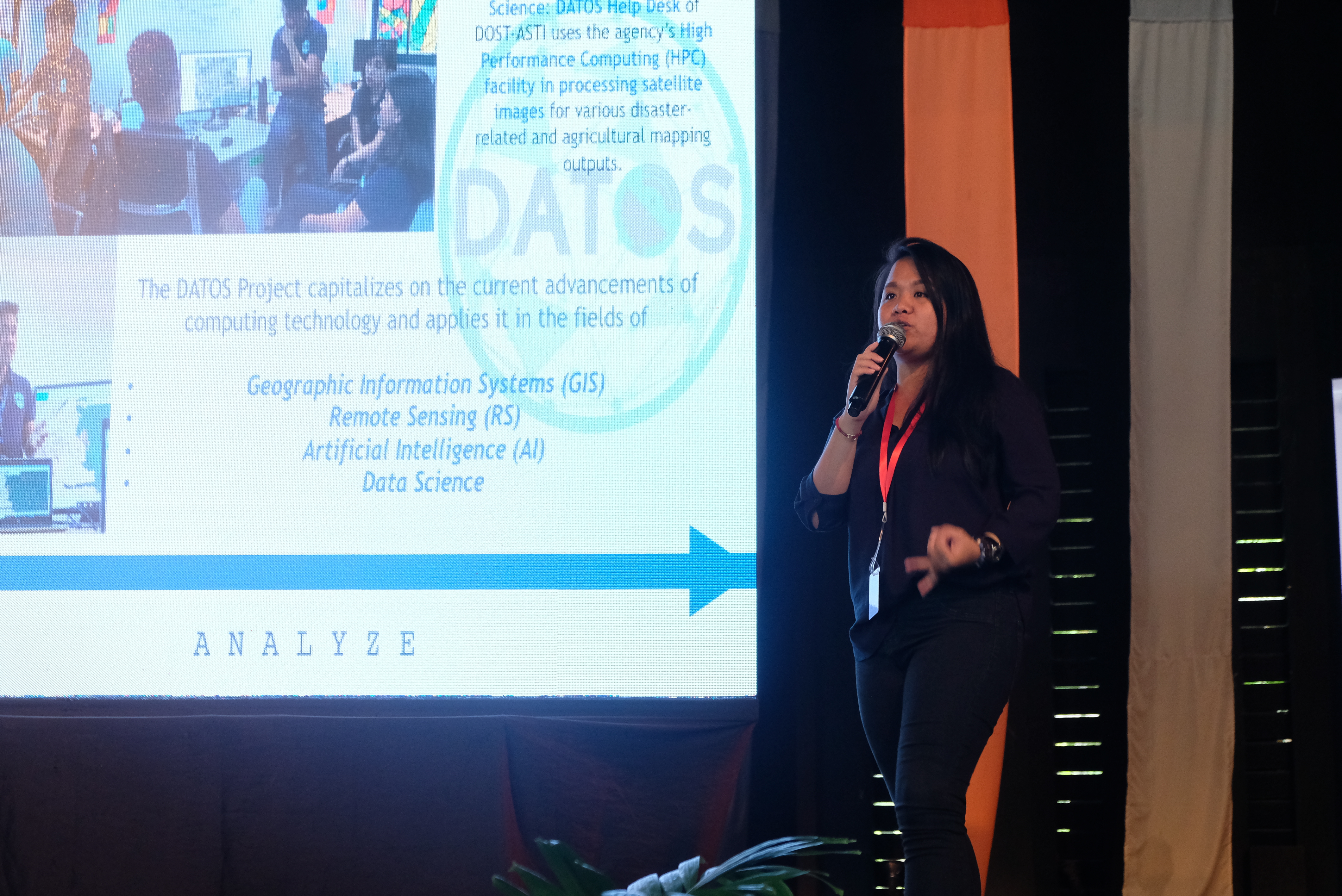
Just a background, I am one of the information officers of the DATOS Project. We conduct R&D to develop advanced methodologies for different applications of earth observation data. We complement the current efforts of existing government agencies and initiatives in the country through our continued research on Artificial Intelligence (AI) and other advanced image processing techniques.
I also hosted a Birds of Feather session about the same topic. I just pray that next time, I could promote our technologies better.
Mappy with #GeoLadies
Before the Geoladies sessions, I attended the Countermapping session by Ma’am Ony. I personally enjoyed the countermapping for social justice lecture.


I have attended all the sessions organized by GeoLadies, and I am so proud to be a woman. Even before knowing about them, I have been advocating for the roles of women in disaster risk reduction and management — a very gender-sensitive topic. I was not confident in talking about understanding the gender implications and facets of disaster and climate change and how it is critical to DRRM practices, but I know for sure that women are part of the critical process.

I’ve said this before and I am saying this again: We do not have the same privileges, needs, and vulnerabilities in CCA-DRR, given the exponential risk of it, but in mapping, we do. It is time for gender-sensitive approaches to disaster mitigation and recovery strategies using spatial technologies. Stop discriminating women response and capabilities.
Women can do what men can do. Women leadership is vital in reducing disaster risk and their efforts should be recognized, encouraged, and all the more supported.
So what happens when women map? We take over the world. I mean, not literally, but it’s basically the same thing.
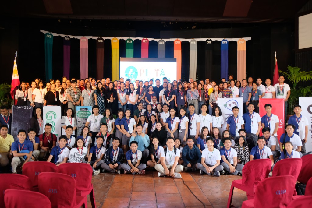
I would like to thank the organizers of the Pista ng Mapa especially Sir Erwin Olario for guiding me through the process of the mapping community. I enjoyed every talks, sessions, and all the time of get-together. Thank you for giving me the chance to know cool people in the mapping community.

And also, the conference could never be on time– I just really needed some time to breathe. To more mappy days ahead!
